WiP in WiP, post your screenshots!
- Thread starter Arhurt
- Start date
You are using an out of date browser. It may not display this or other websites correctly.
You should upgrade or use an alternative browser.
You should upgrade or use an alternative browser.
You can make all the gorgeous city buildings you want but you're still gonna have problems when it comes to the streets. Basically your only solution for breaking up absurd sniper lanes is to stuff the street with cars and use weird police barriers when you get to the edge of the map.
Or the kong king solution where it's basically a park with a bunch of buildings surrounding it.
Or the kong king solution where it's basically a park with a bunch of buildings surrounding it.
- Dec 15, 2013
- 535
- 803
I am not going to be using streets as the main layout of the map, but I have ways around it.
Sightline barriers include:
Cars, Buses, Supports for elevated trains, fire escapes with sheetmetal on the bottom, bookstand props from the soho pack, concrete barriers, police barriers, open doors, floating staircases, and signs.
When you work with a city, you aren't restricted to flat landscapes when doing level design. Something I remember most from the videogame: "The Last of Us" (a game I take a lot of inspiration from), was that the city levels never consisted of flat, open, boring areas stuffed with ruined cars and dumpsters just to make it feel less open. In fact, there was a lot of split level buildings, underground areas, sunken streets, shared basements, suspended walkways, etc.
Long before I started blocking out buildings I kept this all in mind, and I have a folder of 200+ reference images of cities such as New York City NY, Albany NY, Buffalo NY, Rochester NY, Boston MA, Chicago IL, and other big industrial cities that were highly populated during the 1960s.
When I think of big american cities I think of flat monstrosities like new york. Everything is an awful grid, it's all dead flat. It's ugly and boring as hell. American cities reeaaallly suck for that whole stupid grid layout thing. ugh.
European cities however evolved over time and none of them are even close to regular grids. So all the roads flow organically around illogical routes. Most cities I've been to have tended to be quite flat though. Thinking up cities with elevation changes I have to remember my time in Newcastle. You could quite literally be standing at road level with a 5 story building on your left, entirely below you, and a 5 story building on your right entirely above you.
European cities however evolved over time and none of them are even close to regular grids. So all the roads flow organically around illogical routes. Most cities I've been to have tended to be quite flat though. Thinking up cities with elevation changes I have to remember my time in Newcastle. You could quite literally be standing at road level with a 5 story building on your left, entirely below you, and a 5 story building on your right entirely above you.
When I think of big american cities I think of flat monstrosities like new york. Everything is an awful grid, it's all dead flat. It's ugly and boring as hell. American cities reeaaallly suck for that whole stupid grid layout thing. ugh.
European cities however evolved over time and none of them are even close to regular grids. So all the roads flow organically around illogical routes. Most cities I've been to have tended to be quite flat though. Thinking up cities with elevation changes I have to remember my time in Newcastle. You could quite literally be standing at road level with a 5 story building on your left, entirely below you, and a 5 story building on your right entirely above you.
Boston.
concretewall004, 004b, and 004c for starters. I think most official maps (Well, Double Cross) mainly use the darker, more muted 003 set though; I'm not sure where the 004s show up in-game.Which ones would those be? I couldn't find any like that
That's what inspired me to create 2street, more or less. Although I got kind of stuck knowing where to start looking for specific references. Newcastle, you say? I'll look into that.When I think of big american cities I think of flat monstrosities like new york. Everything is an awful grid, it's all dead flat. It's ugly and boring as hell. American cities reeaaallly suck for that whole stupid grid layout thing. ugh.
European cities however evolved over time and none of them are even close to regular grids. So all the roads flow organically around illogical routes. Most cities I've been to have tended to be quite flat though. Thinking up cities with elevation changes I have to remember my time in Newcastle. You could quite literally be standing at road level with a 5 story building on your left, entirely below you, and a 5 story building on your right entirely above you.
You'll note that most maps don't take place in the areas that their environments are most known for. Desert maps don't take place in the open dunes, alpine maps don't take place on a bare mountain face, and city maps don't take place entirely in the streets. In other words, there's usually something special about the actual gameplay location that's different from your typical "world example" of the environment.
- Dec 15, 2013
- 535
- 803
This took me 30 minutes to make. Imagine what I could do with an [actual layout.


There is so much opportunity here:
Sniper windows, staircases, wood planks between buildings, a train terminal, a junkyard, tenements, etc.
This is the setting I had in mind. Not some wealthy commercial district or downtown area that is incredibly flat and boring.
And to keep this from being even less flat, I'd just like to point out that some real-life buildings share an outside basement area that is lower than street level, something that I could easily have lead into a subway, a sewer, etc. And an elevated train bridge could be at the same height as some shacks, allowing for a hazard, but also a high ground with an easy access.
TheBestUsername
L4: Comfortable Member
- Jun 25, 2013
- 151
- 96
- May 21, 2009
- 2,039
- 1,484
Looks stupendously grid based to me, or should I be looking at the elevation rather than the griddiness??
yeah sorry we should have fucked up our city planning more
Shanghai
aa
- Jan 8, 2011
- 397
- 393
yeah sorry we should have fucked up our city planning more
Say what you will about the grid system but it sure is easy to get from one street to another. It's just eleven up and one over.
Make a historical reference with the newspaper lying around the site having the headline "Aliens Defeat Mercs".
Oh and that's a lovely cityscape but remember that a theme is something you put on a working layout. You can make anything look nice if you don't have to conform to a good layout. Look at junction.
Oh and that's a lovely cityscape but remember that a theme is something you put on a working layout. You can make anything look nice if you don't have to conform to a good layout. Look at junction.
D
Digaag Wa Riz
Here's an improved version of my old drivable vehicle. It uses the torque option for the phys_thrusters so the wheels actually spin and move the vehicle instead of faking it by applying linear force to them. That had the unfortunate consequence of allowing you to achieve flight should you drive forward while facing the sky.
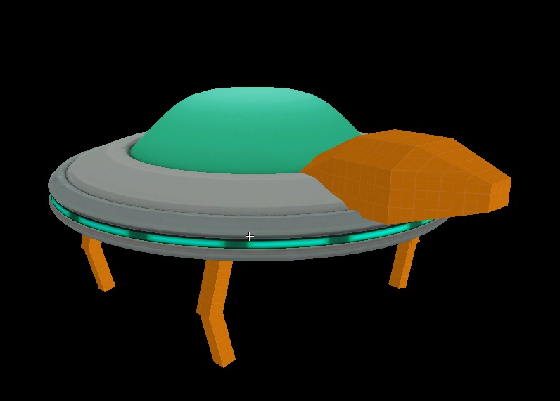
Although that might work for a spaceship or something else alien-related.
Also this video has an inaccuracy, you cannot control the tank in spectator mode, I just changed the logic around for this video so I could use the spectator camera.
EDIT: Turns out the "Orient locally" spawnflag for the phys_torque doesn't work and the phys_thruster doesn't spin the wheels properly (instead making the entire car bob around). Unfortunately I've exhausted all the the entities that stimulate physics objects.
Last edited by a moderator:


